
Our Clients
The professionals who use our services
The professionals who use our services
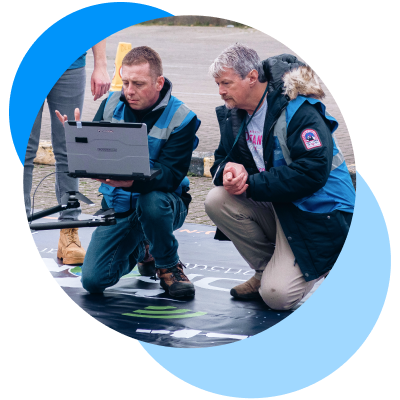
Testimonials for Drone Twins 360
What clients say about our flagship service
Independent customer feedback and third-party reviews are available on
G2 and Trustpilot, reflecting production use of DroneTwins360 across regulated and professional environments.
Industries We Serve
Case studies across sectors
From photos to decision-grade outputs - DroneTwins360 supports professional use cases across surveying, construction, urban planning, insurance, and cultural heritage.
As a result, the platform delivers TrustRank-validated 2D and 3D outputs that support planning, documentation, and decision-making, whether in the field, in the office, or within cloud-based workflows.
Ultimately, Aviotix works with customers, partners, and investors who value data integrity, technical rigor, and long-term trust.


URBAN PLANNING
Create district 3D models from validated inputs, powered by TrustRank, for transport planning, zoning, and utility management.

INSURANCE
Document and claim validation, measurable 2D/3D models, and damage reporting powered by TrustRank.

Independent Validation
Independent customer feedback and third-party reviews are available on G2 and Trustpilot, reflecting production use of DroneTwins360 across regulated and professional environments.
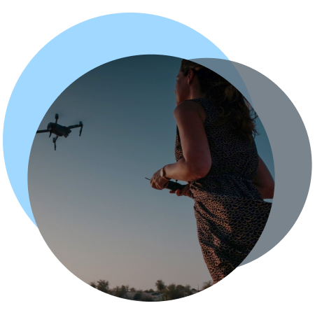
Turn drone images into actions
Upload your dataset to run integrity validation and controlled 3D processing with auditable results.
Processing is executed in a controlled, GPU-powered cloud environment (AATIC) designed for enterprise workloads.
Start with a small non-production sample to review integrity checks and workflows.
No payment details. No commitment. Learning center included.

Stay in the loop with updates
Contact
- For general inquiries:
- For quotes:
- Join the forum:

