Frequently Asked Questions
Quick access to important information
Each of our products includes a dedicated Learning Centre with comprehensive guides. In addition, you can unlock full access by subscribing to the corresponding product. As a result, you get step-by-step instructions, best practices, and continuous updates.
Sign-up required. No payment details. No commitment.
FAQ
General Information
On my screen the site looks too large or too small. How to fix?
Most browsers support zoom controls that let you adjust the page size instantly.
On Windows and Linux, you can zoom in with Ctrl + +, zoom out with Ctrl + -,
and return to the normal size with Ctrl + 0.
On macOS, the same actions use Command ⌘ + +, Command ⌘ + -, and Command ⌘ + 0.
The plus key makes the page larger, the minus key makes it smaller, and zero resets the zoom back to the default 100% view.
This is the invisible H4 title for SEO
This is the invisibile P text for SEO. Don’t remove the additional class name for the block!
How do I navigate the site?
All buttons and links take you directly to the relevant product or feature in a new tab.
However, if you’re not logged in, the platform will automatically redirect you to the Login / Sign-Up page before giving access.
This is the invisible H4 title for SEO
This is the invisibile P text for SEO. Don’t remove the additional class name for the block!
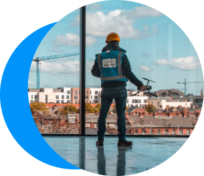
What is Aviotix?
Aviotix is a cloud platform for fast, accurate 3D reconstruction, Deepfake detection, digital twins, and geospatial processing. In addition, it streamlines the entire workflow from imagery to usable data.
Above all, teams can convert drone, camera, and phone photos into measurable 3D models with ease. Ultimately, this makes high-quality spatial documentation accessible to everyone.
Do I need specialised hardware to use Aviotix?
No. All processing runs in secure cloud environments.
Therefore, you don’t need local GPUs or powerful workstations.
Finally, you can generate high-resolution models from any modern device. In practice, this makes advanced 3D reconstruction accessible to everyone.
This is the invisible H4 title for SEO
This is the invisibile P text for SEO. Don’t remove the additional class name for the block!
Which industries benefit from Aviotix?
Aviotix supports construction, real estate, smart-city planning, inspection, insurance, and GIS workflows. In addition, it adapts easily to different project sizes and requirements.
As a result, both small teams and enterprise organisations can integrate it into their existing operations. Ultimately, the platform fits any workflow that relies on accurate 3D or geospatial data.
This is the invisible H4 title for SEO
This is the invisibile P text for SEO. Don’t remove the additional class name for the block!
What formats can I export?
Aviotix delivers outputs in PLY, TIF (orthomosaic) and MP4 as part of the current MVP. In addition, the upcoming version 1.1.0 introduces expanded export options, including OBJ, FBX and glTF.
Consequently, your datasets will integrate more easily with engineering, mapping and visualisation workflows.
After all, the export process stays simple, predictable and fully aligned with industry expectations.
DroneTwins360 FAQ
Your questions about
DroneTwins360, answered
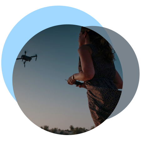
What is DT360?
DT360 is a cloud tool that turns your drone, camera, or phone photos into clean, accurate 3D models. Beyond that, it includes built-in data integrity checks and deepfake detection & reporting.
Furthermore, the Learning Centre explains exactly how to apply these tools effectively.
Do I need any experience to start?
No — DT360 is built for everyone. Even so, the Learning Centre offers clear, beginner-friendly guides for uploads, processing, and authenticity verification.
In turn, this helps you progress confidently from the very first dataset.
How fast can I create my first model?
You can upload and preview your dataset within 20 minutes or faster, depending on the number of images in your dataset.
From there, the Learning Centre guides you step-by-step from basic uploads to full 3D outputs, including integrity-validated datasets.
In fact, many users complete their first full workflow within a couple of hours.
Why should I subscribe in DT360?
The subscription unlocks the DT360 Learning Centre. In turn, you gain access to tutorials, tips, best practices, and guidance on data integrity and deepfake detection & reporting.
Additionally, you receive limited trial access to explore DT360 — including the 3D preview and the Photo Integrity Check & Deepfake Detection workflow on your own dataset.
The trial dataset remains available until you decide to delete it, in line with our GDPR-compliant retention policy.
Meanwhile, you’re free to experiment with your own dataset.
Sign-up required. No payment details. No commitment.
TrusRank Integrity Engine FAQ
Your questions about
TrusRank Validator, answered
What does the TrusRank Integrity Engine do?
Aviotix offers the TrusRank Integrity Engine, an AI-driven model that verifies whether your images are authentic and unaltered. Beyond that, it identifies potential manipulations, inconsistencies, or synthetic elements before processing begins. Additionally, it performs a multifactor integrity analysis: it inspects the raw image, examines EXIF and GNSS metadata, and compares the coordinates against a corresponding Copernicus Sentinel tile and the Galileo High Accuracy Service (HAS).
As a result, the system can detect manipulations, inconsistencies, or synthetic elements before the 3D processing pipeline begins.
How does the Engine detect deepfakes in my dataset?
The Aviotix TrusRank Integrity Engine analyzes metadata, image patterns, and AI-generated artifacts. In parallel, it correlates these signals with your capture sequence to identify suspicious frames accurately. Finally, it checks for manual manipulation in the EXIF data, GNSS records, and the image content itself.
Additionally, it verifies the integrity of each image by comparing its EXIF coordinates and altitude against a corresponding Copernicus Sentinel tile and the Galileo High Accuracy Service (HAS).
Will the TrusRank Integrity slow down the modelling?
No — the TrusRank Integrity Engine runs automatically during upload. To begin with, the system ingests your EXIF data and prepares it for AI analysis. Shortly after, the Engine completes its verification in just a few minutes. Ultimately, you get instant authenticity results without slowing down your 3D reconstruction in any way.
Why is Decision-grade photo integrity important?
Decision-grade photo data integrity forms the foundation of reliable digital outputs. To begin with, deepfake imagery and AI-generated content expand at high speed and introduce material risk into visual, 3D, and geospatial workflows. For that reason, organisations require a trusted integrity and authenticity layer that flags risk before data enters decision paths. This layer integrates directly into any 3D or geospatial platform through a simple API.
In essence, validated and time-stamped imagery preserves accuracy and evidential value at every stage of use. In parallel, DT360 locks each dataset to prevent unauthorised or accidental modification once integrity checks complete. Most importantly, Aviotix Smart Photo Storage preserves every image in full, uncompressed quality, ensuring that decision-grade outputs remain defensible, repeatable, and suitable for high-confidence analysis, reporting, and audit.
Sign-up required. No payment details. No commitment.
Turn drone images into actions
Upload your dataset to run integrity validation and controlled 3D processing with auditable results.
Processing is executed in a controlled, GPU-powered cloud environment (AATIC) designed for enterprise workloads.
Start with a small non-production sample to review integrity checks and workflows.
No payment details. No commitment. Learning center included.
Stay in the loop with updates
Contact
- For general inquiries:
- For quotes:
- Join the forum: